|
| *****SWAAG_ID***** | 363 |
| Date Entered | 27/11/2011 |
| Updated on | 27/11/2011 |
| Recorded by | Tim Laurie |
| Category | Tree Site Record |
| Record Type | Botanical HER |
| Site Access | Public Footpath |
| Record Date | 07/11/2011 |
| Location | Kisdon Hill West Pastures. |
| Civil Parish | Not known |
| Brit. National Grid | NY 8935 0015 |
| Altitude | 370m |
| Geology | Drift over Underset Limestone. |
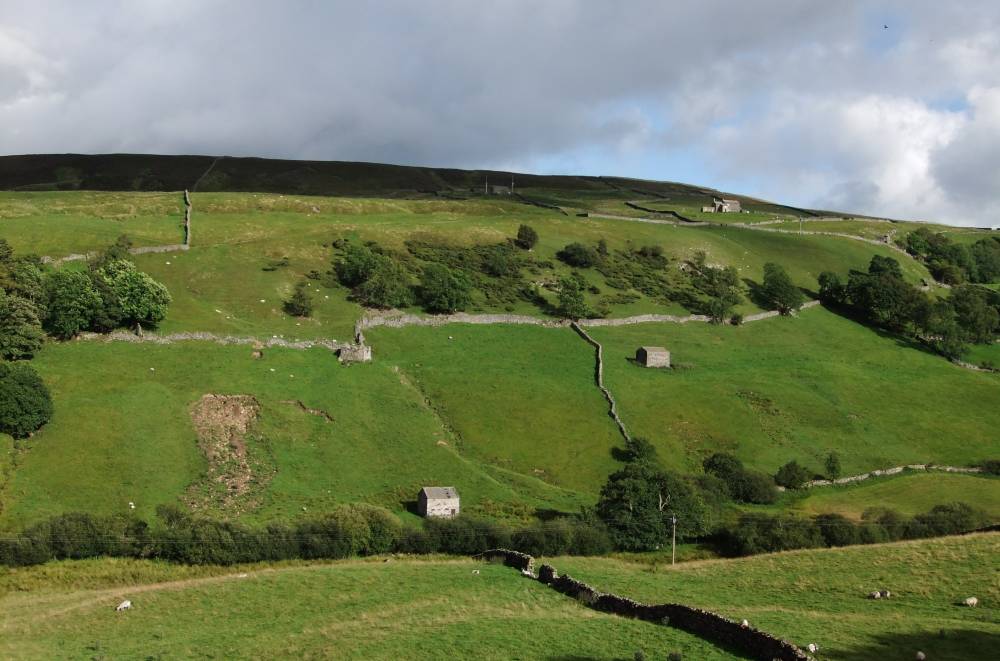
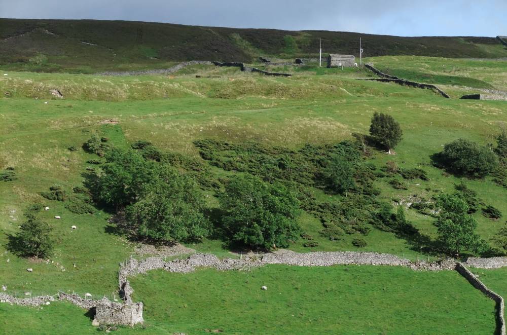
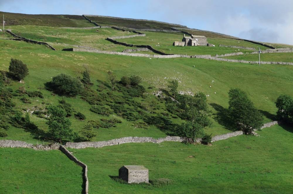
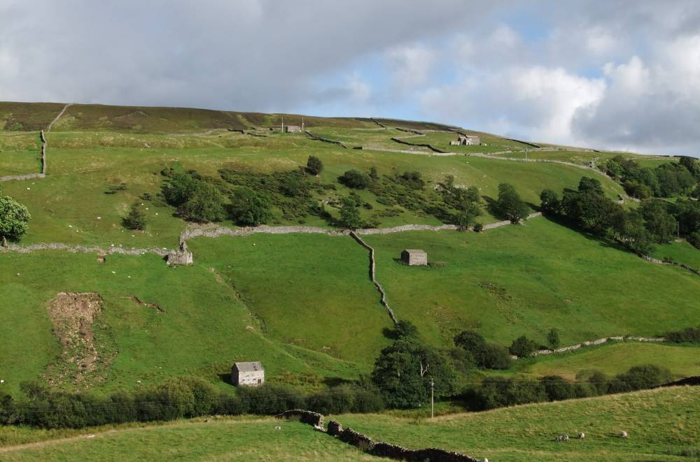
| Record Name | MUK137 Kisdon West Pastures. Juniper Scrub Site 2. |
| Record Description | Area of juniper scrub on mid dale slopes (50-100 bushes)both prostrate and fastigiate forms present.Occasional ash, rowan and sallow the only other trees present. (NY 8935 0015 centre) |
| Dimensions | See photographs |
| Geographical area | Upper Swaledale |
| Species | Juniper |
| Additional Notes | This is the central of three areas of juniper scrub on the western slopes of Kisdon Hill.
Juniper has not yet been recorded on the eastern slopes of Kisdon Hill. |
| Image 1 ID | 1455 Click image to enlarge |
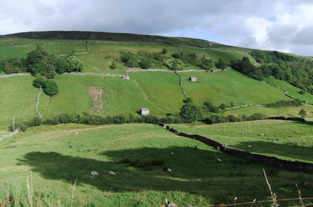
| Image 1 Description | Kisdon West. Pastures above Skeb Skeugh. Area of juniper from B6270 road. |  |
| Image 2 ID | 1456 Click image to enlarge |
| Image 2 Description | |  |
| Image 3 ID | 1457 Click image to enlarge |
| Image 3 Description | |  |
| Image 4 ID | 1458 Click image to enlarge |
| Image 4 Description | |  |
| Image 5 ID | 1459 Click image to enlarge |
| Image 5 Description | |  |
| Image 6 ID | 1460 Click image to enlarge |
| Image 6 Description | |  |